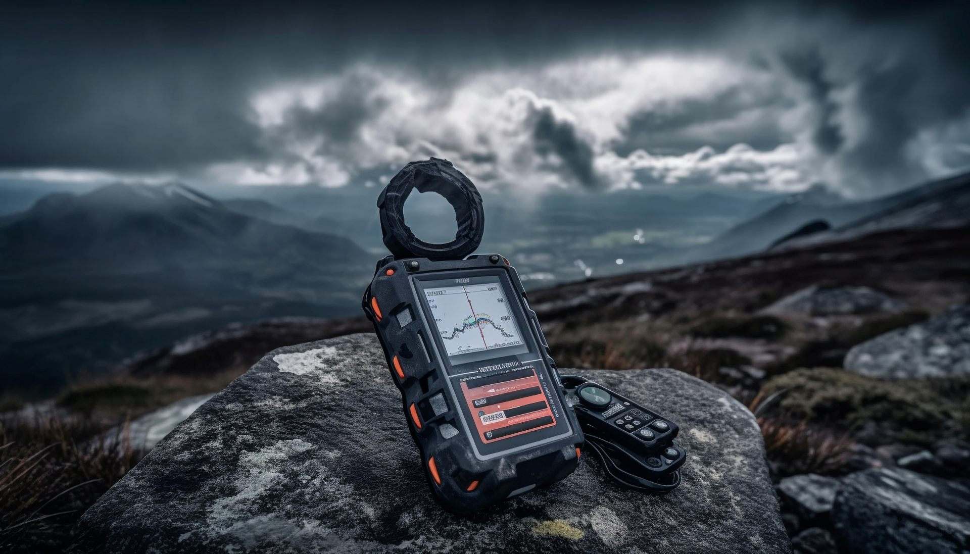
We provide geological exploration services tailored to meet the needs of mining companies, government agencies, and private investors.

Geophysical Exploration

Geophysical Exploration

Geophysical Exploration involves the use of non-invasive technologies to probe beneath the Earth’s surface. This phase helps us locate hidden mineral deposits by analysing physical properties like magnetism, resistivity, and conductivity.
Services Included

What is Included in Our Geophysical Exploration?

Magnetic Survey

We use Unmanned Aerial Vehicle (UAV) or ground surveys to detect magnetic anomalies linked to buried structures or mafic-intrusive bodies.

Resistivity Survey

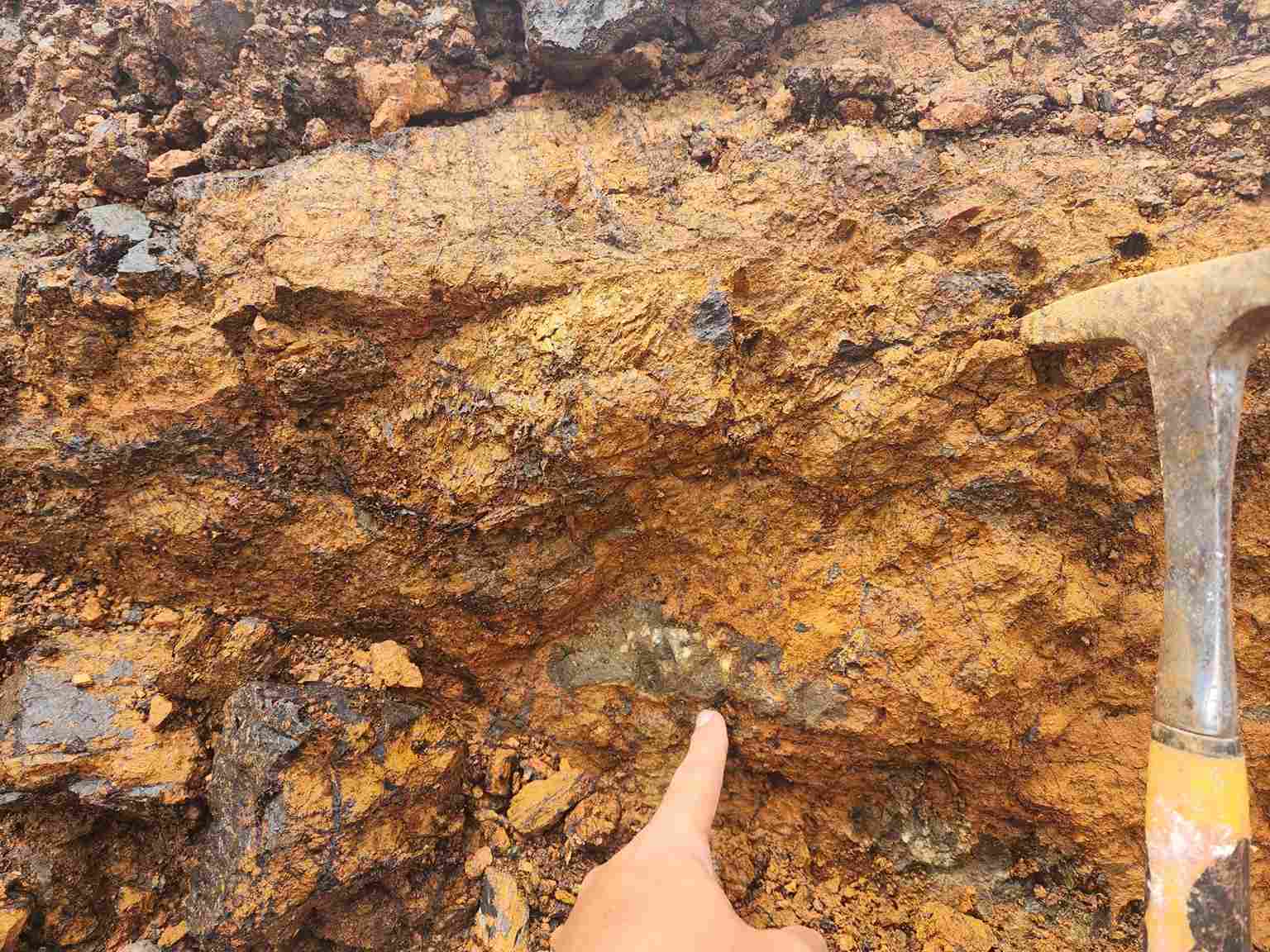
We implement electrode arrays to map sub-surface resistivity variations that highlight mineralized zones or fault structures.
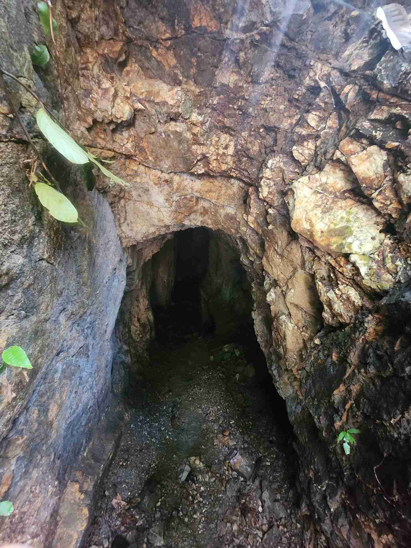
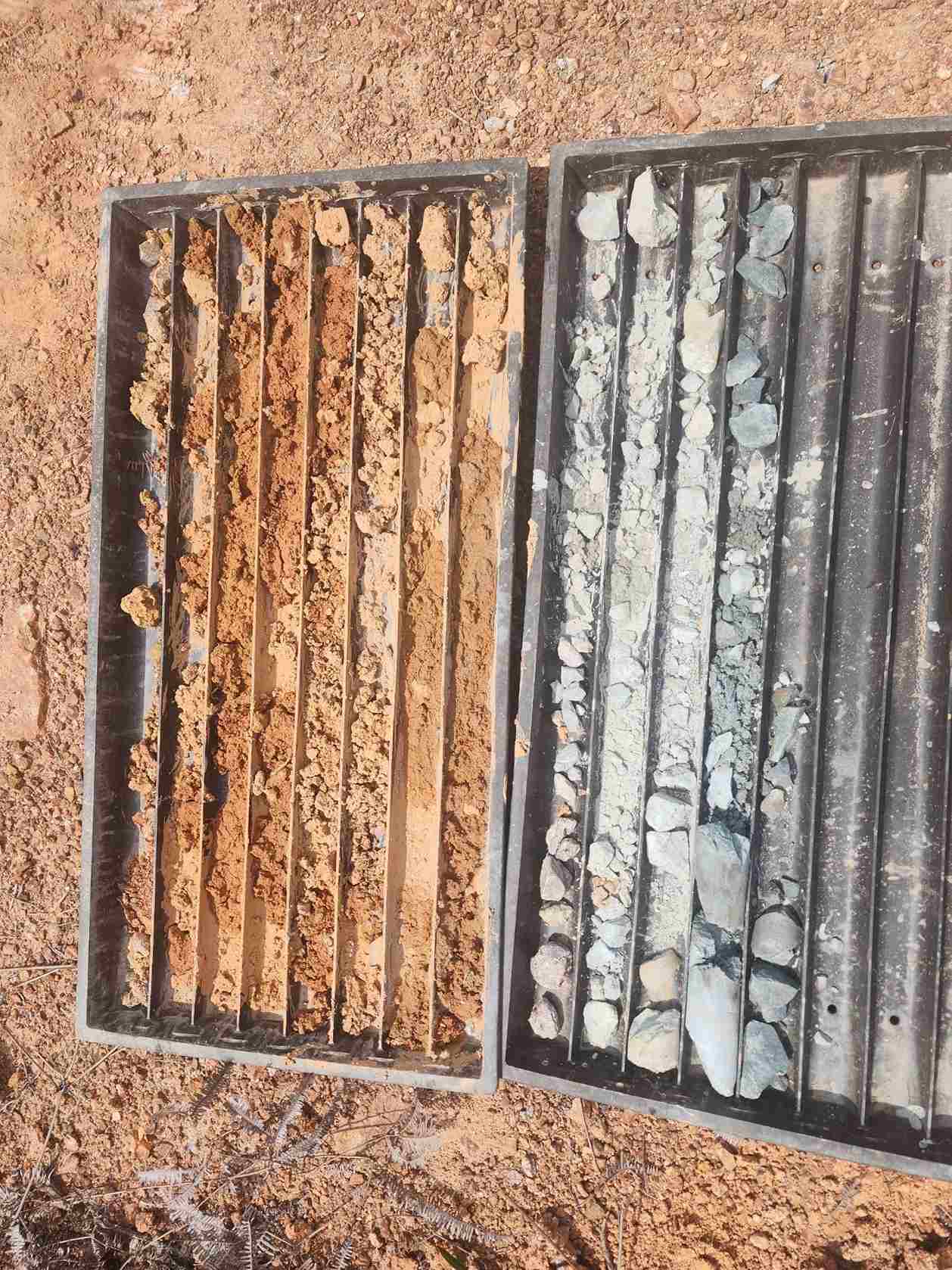
Trenching

We excavate shallow trenches across anomalies to expose bedrock for structural mapping and sample collection.

Equipment we use

At Geodec, we use cutting-edge technology to accelerate exploration.

UAV Aeromagnetic Systems

These systems are used to collect aerial magnetic data quickly over large or hard-to-access terrain with high spatial resolution.

Magnetometers

Ground or drone-mounted sensors that detect subtle magnetic field changes caused by underlying geological formations.

Induced Polarization (IP) System

This system is used to measure chargeability and resistivity to target disseminated sulphide mineralisation in the subsurface.

Multi-element Spectrum Analysers

Field-portable tools providing rapid multi-element data from rock or soil samples to support real-time decision.
Let’s know step by step?

Our process

Our Projects Case Studies

Geophysical Exploration Projects

Explore our exploration methods and field expertise in action. Below are some notable projects we’ve successfully completed:

Enity Network Sdn Bhd

UAV Aeromagnetic (5000 Acres) located at Kota Marudu, Sabah.

Geological survey and drilling (496.682 Acres) located at Gua Musang, Kelantan.

Magnetic Survey, Geological Survey and Electrical Method (165 Acres) located at Rompin, Pahang.

Magnetic Survey & Geological Survey (500 Acres) located at Rompin, Pahang.

Ready to explore what lies beneath?

Partner with Geodec to eliminate geological uncertainty, reduce project risk, and gain the data needed for smart, confident decisions.