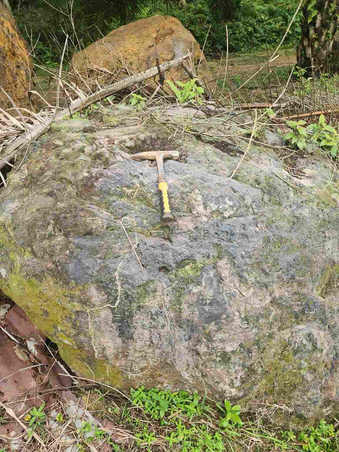
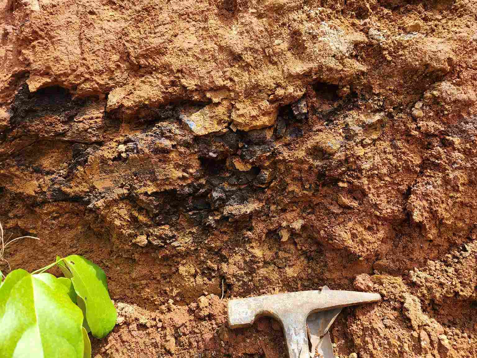
Data Modelling / Geological Modelling
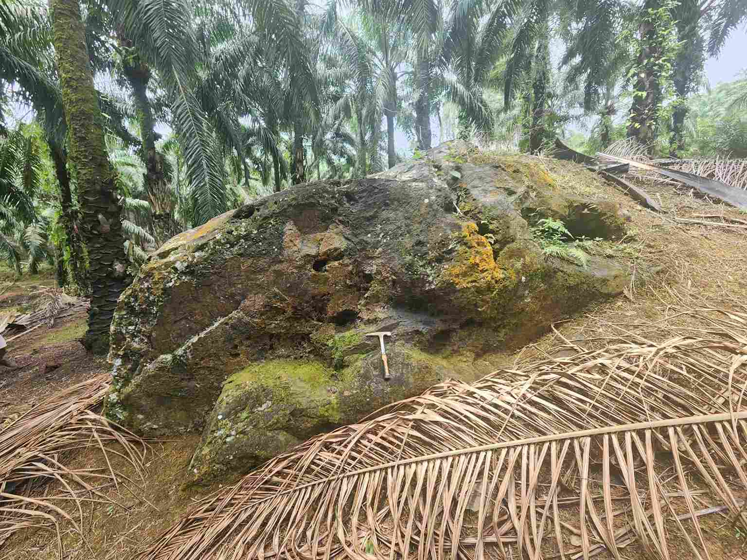
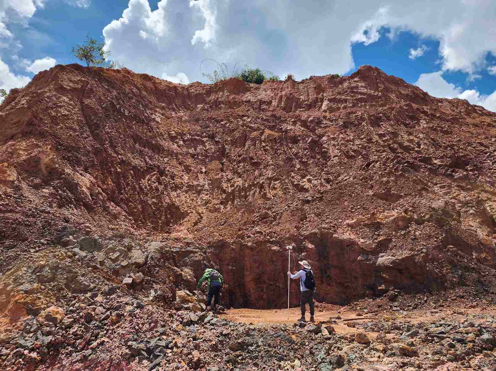
We create 3D models of subsurface geology, integrating drillhole, trench, and geophysical data for spatial understanding.
Resource Estimation
We use statistical and geostatistical methods to calculate deposit tonnage, grade, and classification.
Technical Reporting
We produce reports aligned with international codes (e.g. JORC, NI 43-101) for financing, investor relations, and permitting.

01
Consolidate exploration data into structured databases for analysis.
02
Construct 3D geological models using modelling software and expert interpretation.
03
Perform resource estimation following industry-standard methodologies.
04
Evaluate technical, environmental, and economic parameters.
05
Prepare comprehensive reports for clients, investors, and regulators.
Enrich Mines & Minerals (M) Sdn Bhd
Olympic Frame Sdn Bhd